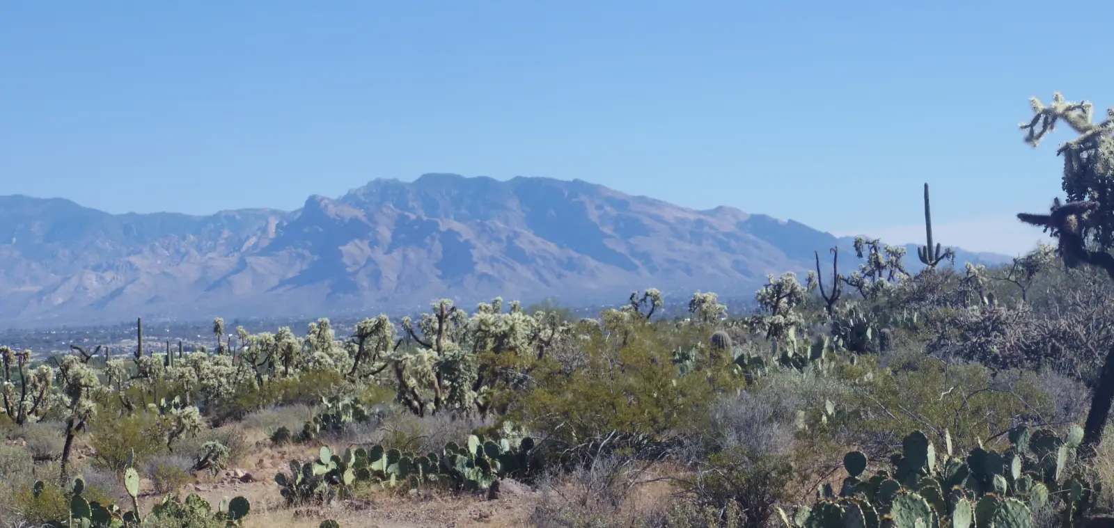
Mount Lemmon - the highest mountain in the Santa Catalina Mountains, Arizona, United States.
Elevation - 2 792 m (9,161 ft).
Coordinates - Latitude: 32.44313, Longitude: -110.78843.
No users yet
No routes yet.
No ascent logs yet. Be the first to log your climb!
Mount Lemmon (9,159 ft / 2,792 m) is the highest peak in the Santa Catalina Mountains north of Tucson and a unique "sky island" rising from Sonoran Desert. A scenic byway winds 27 miles to near the summit, offering access to hiking trails, ski slopes (Arizona's southernmost), and pine forests. Popular hikes include short walks to overlooks or longer treks through aspens and wildflowers. Views span the desert below to distant peaks; summer escapes the Tucson heat, winter brings snow play. The area features Sabino Canyon, Mount Lemmon Ski Valley, and astronomy observatories. A favorite for drives, picnics, and escaping lowland temperatures.
No posts yet.